 |
ISPRS
WG VI/5
STUDENT CONSORTIUM
*********************************
2nd ISPRS WG VI/5&SC SUMMER SCHOOL
1-7 July 2007
Ljubljana, Slovenia


PROGRAM SCHEDULE
PROGRAM BOOK
MATERIAL - PROCEEDINGS
Request for the password
send to
*


*.rar
*.zip
PHOTO
GALLERY >>
)

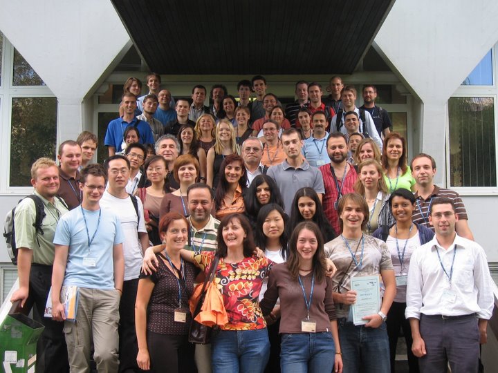
ISPRS Summer School, participants
***************************
3rd ISPRS SUMMER SCHOOL
27
June-1 July
2008, Nanjing, CHINA
1st ISPRS SUMMER SCHOOL
19-26 June 2005,
Istanbul, TURKEY
****************************
Last update :
27/07/07
|
 |
|
PROGRAM BOOK
|
MATERIAL - PROCEEDINGS
Request for the password
send to
*
*.rar
*.zip
|
|
PROGRAM SCHEDULE – ISPRS WG VI/5&SC Summer School
Ljubljana, Slovenia, July 1-7, 2007
Generalized program schedule of the ISPRS WG VI/5&SC Summer
School is available in:
-
*.doc version (Microsoft Word)
and
-
*.pdf version (Adobe
Reader).
Detailed program schedule of the ISPRS WG VI/5&SC Summer School
is available in:
-
*.doc version (Microsoft Word)
and
-
*.pdf version (Adobe
Reader).
|
|
LECTURERS – alphabetical order
|
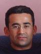
AKCA,
Devrim (1975) was born
in Mersin, Turkey. He received his both B.Sc. and
M.Sc. degrees at the Department of Geodesy and
Photogrammetry Engineering, Karadeniz Technical
University, in Trabzon, Turkey in 1997 and 2000,
respectively, and his Ph.D. degree in Photogrammetry,
Swiss Federal Institute of Technology (ETH) Zurich,
Switzerland in 2007. He is currently research
associate at the Institute of Geodesy and
Photogrammetry (IGP), ETH Zurich.
|
|
|
BILBAN,
Gregor (1975) was born in Kranj,
Slovenia. He received his B.Sc. degree in Electrical
Engineering with thesis »Global Positioning System«.
Since 1999 he works for the company Geoservis, a
Leica Geosystems authorized distributor and service
workshop, as a technical support. He took part in
establishing the first Slovenian permanent reference
station which was included in EUREF Permanent
Network and also in establishing the first Slovenian
GNSS station. He gained experience in TLS on various
Technical trainings at Leica Geosystems and on
different laser scanning projects in Slovenia. At
the company Geoservis he is also responsible for ISO
9001 certification. He is currently attending M.SC.
geodesy study at the Faculty of Civil Engineering
and Geodesy in Ljubljana.
|
 |
|
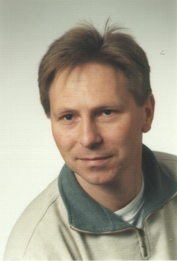
FRIESS,
Peter (1960) was born in Dieburg, Germany. He
received his M. Eng. degree in Geodesy in 1984 from
Darmstadt University. In1985 he joined the Institute
of Photogrammetry at Stuttgart University and
participated in the research project "High Precision
Navigation" under the direction of Prof. Dr.
Ackermann. In 1990 he was awarded the Ph.D. with
honors by Stuttgart University for the thesis "Kinematic
Positioning for Aerial Triangulation with the
NAVSTAR Global Positioning System". He worked at
INPHO GmbH Stuttgart on the development of GPS
processing software until he co-founded TopScan GmbH
in 1992. For 10 years he has been Managing Director
of TopScan. In 2002 he accepted the position of
Director for Geodetic Applications R&D at Optech
International in the US. In 2006 he returned to
Germany and is since then active as an independent
consultant for Optech International. Peter Friess
received the Award of the Society of Friends of the
University of Stuttgart (1990), the Hansa Luftbild
Award (1991) and the Carl Pulfrich Award by Carl
Zeiss Oberkochen (1997).
|
|
|
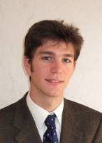
LEMAIRE,
Charles (1979)
was born in Chinon ( France ) in 1979. He
received M.Sc. degree in surveying engineering in
2003 from the INSA in Strasbourg. In 2003 he joined
the support and sales team of INPHO GmbH. Since 2006
he is employed as an application engineer. He is
currently working on the enhancement and quality
assurance of the photogrammetric and Lidar products
(INPHO GmbH).
|
 |
|
PFEIFER,
Norbert (1971) was
born in Vienna, Austria. After his studies of
surveying engineering he worked as research
assistant studying airborne laser scanning from 1997
at the Vienna University of Technology. He earned
his Ph.D. (with honours) in 3D terrain modelling
combining approaches from computational geometry and
photogrammetry. Thereafter, 2003, he went as PostDoc
to Delft University of Technology, the Netherlands,
in the Section of Photogrammetry and Remote Sensing
where he became Assistant Professor in 2005. The
research field widened to terrestrial laser
scanning. In 2006 he took the position of senior
researcher at alpS, Centre for Natural Hazard
Management, in Innsbruck, Austria, where he lead a
project on airborne and terrestrial laser data
management and modelling with specific attention
given to modelling alpine natural hazards. Later in
2006 Norbert Pfeifer took the position of Professor
in Photogrammetry at Vienna University of
Technology. He is an active member of the
ISPRS, International Society of Photogrammetry,
Remote Sensing and Spatial Information Sciences,
where he is co-chair of the working group V/3 on
Terrestrial Laser Scanning. The research interests
are topographic and 3d modelling, laser ranging and
scanning, and photogrammetry, covering all aspects
from data acquisition to modelling to application.
|

|
|
ROHRBACH, Arthur, Leica Geosystems AH |
 |
|
STRAUB,
Christoph is coming from Albert-Ludwigs
University Freiburge,
Department of Remote Sensing and Landscape
Information Systems, Germany. He studied
"Forestry" at the Rottenburg University of Applied
Forestry, Germany. He earned his Master degree at
international Master Course "Photogrammetry and
Geoinformatics", Stuttgart University of Applied
Sciences, Germany. Thereafter, he has been working
at the Department of Remote Sensing and Landscape
Information Systems (University of Freiburg) and the
Forest Research Institute Baden-Wuerttemberg to work
with LIDAR data in different projects.
|
 |
|
STUDNICKA,
Nikolaus
(1965) was
born in Mistelbach, Austria. He graduated at the
Technical University Vienna, Austria and since 1994
he hold a degree in communications and
radio-frequency engineering. In the 1995-1999
period, he was working at RIEGL Laser Measurement
Systems GmbH, Sales and Marketing. After two years
of working at LORO GmbH he joined RIEGL Laser
Measurement Systems GmbH as Manager, International
Sales. His most significant publications are related
to laser scanning, terrestrial and airborne laser
scanning, cultural heritage documentation by
combining near-range photogrammetry and terrestrial
laser scanning, laser scanning and photogrammetry
for archaeological fieldwork, integrated hybrid
sensor based on photogrammetry and laser scanning
for architectural representation etc.
|
 |
|
VOSSELMAN,
George
(1963) was born in Ommen, the
Netherlands. He graduated with honours from the
Delft University of Technology, the Netherlands, in
Geodetic Engineering in 1986 with an M.Sc.-thesis on
the precision of digital camera's. After his
graduation he worked as researcher at the Institute
of Photogrammetry of the Stuttgart University,
Germany, until 1992. In 1991 he obtained his
Ph.D.-degree with honours from the Rheinische
Friedrich Wilhelms University of Bonn, Germany, on
the topic of relational matching. After a year as
visiting scientist at the University of Washington,
Seattle, U.S.A., he was appointed professor of
Photogrammetry and Remote Sensing at the Delft
University of Technology in 1993. In 2004 he joined
ITC as professor of Geo-Information Extraction with
Sensor Systems. George Vosselman is recipient of the
Hansa Luftbild Award (1993) and the ISPRS Otto von
Gruber Award (2000). As of 2005 he is
Editor-in-Chief of the ISPRS Journal of
Photogrammetry and Remote Sensing.
Over the years George Vosselman
taught many courses in photogrammetry, remote
sensing and laser altimetry, both at undergraduate
and graduate level. He gave guest lectures,
tutorials and courses at universities and
conferences in Austria, Bangladesh, Belgium,
Finland, Germany, Italy, Saudi-Arabia, Turkey, and
U.S.A.. He has been supervisor of about 40 MSc
students. From 1999 till 2002 he was programme
director for the study in Geodetic Engineering at
the Delft University of Technology. He is
author/editor of chapter 6 of the ASPRS Manual of
Photogrammetry (5th edition).
|
 |
|
|
 |